

Devilbend Reservoir - Kayak, Canoe and SUP Fishing
Devilbend Reservoir is an reservoir site on the spine of the Mornington Peninsula in Tuerong, that has been filled with water and now stocked with fish for recreational fishing.
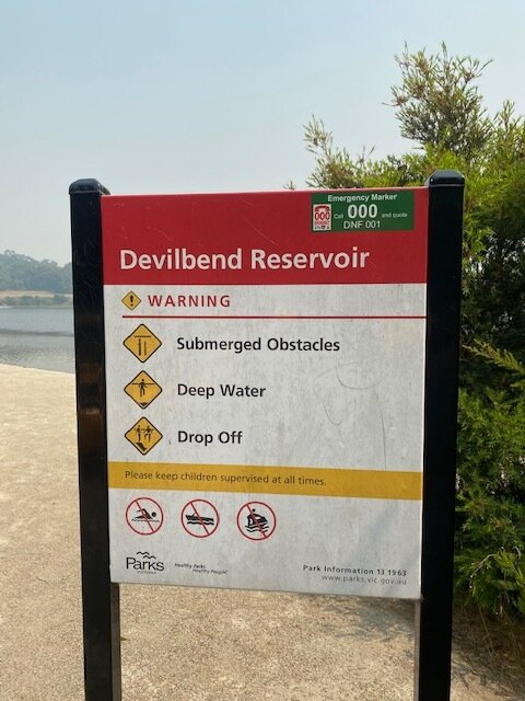
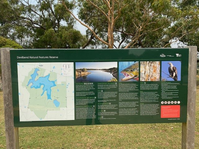
It is within the Devilbend Natural Features Reserve, managed by Parks Victoria.
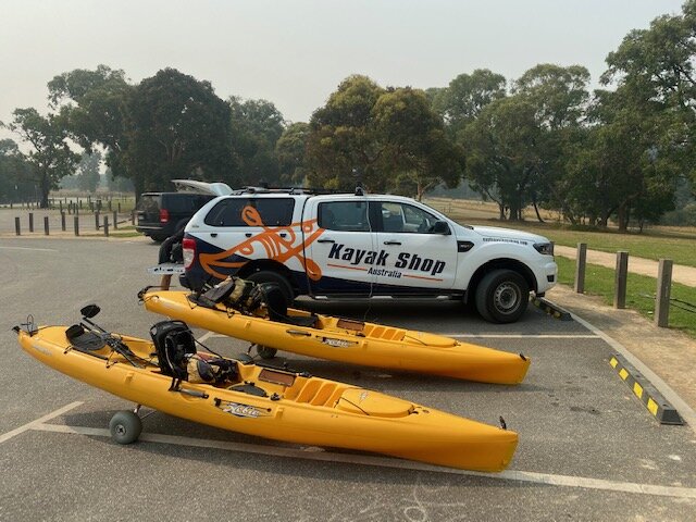
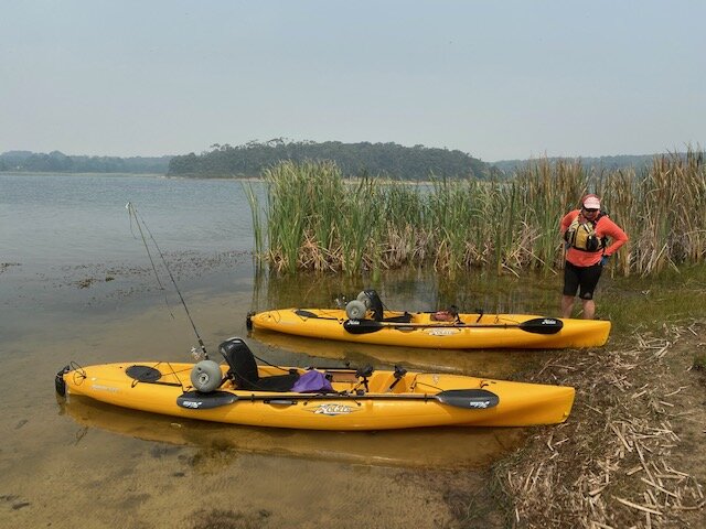
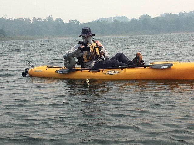
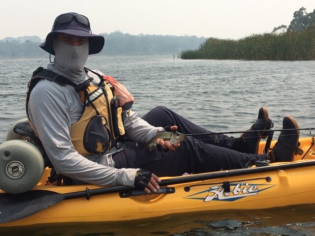
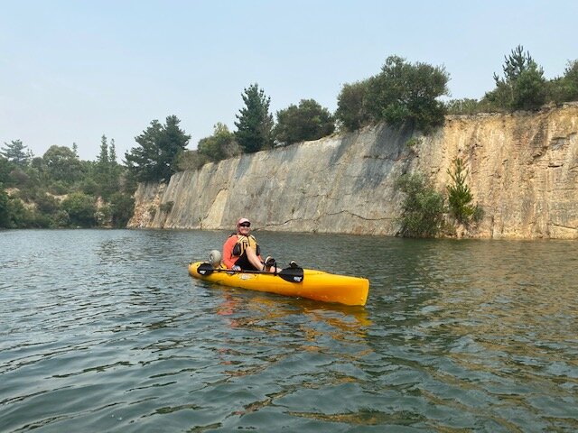
We undertook the short day trip in mid-January on a day initially hazy from the bushfires, to take our Hobie Mirage 13 kayaks out for a blast and maybe even catch some fish!
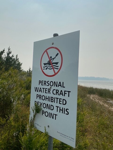
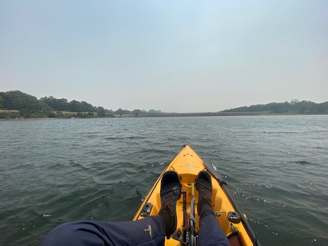
We set up the kayaks and fishing gear then trolleyed down the track to the launch point. The northwestern part of the reservoir designated as the unpowered watercraft area is a couple of kilometres long, though at the far end over the last couple of hundred metres it tapers and shallows into thick weed bed - too snaggy.
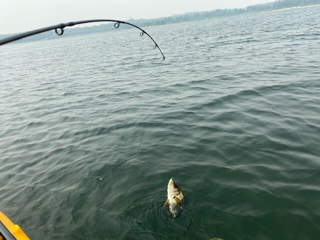
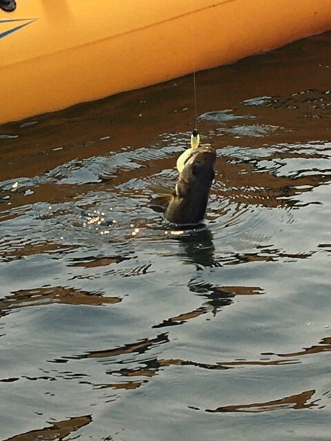
The paddlecraft section (shown as the shaded area on the map) narrows and is marked by yellow buoys. Beyond this the lake widens - on the day we were there an “off-shore” northerly was blowing down the lake. It was back off this point we caught a nice little estuary bream. We paddled back along the eastern shore into the narrow slot of the old quarry (where the stone for the dam wall came from). Being a warm day in the January school holidays there were a lot of swimmers there instead!
Back at the little cove where the launch area is located there were a lot of jumping fish, but not jumping on the hook! Quite a few water birds about and they were maybe having more luck. Devilbend Reservoir is very pleasant day out!


Access
From Melbourne, take Mornington Peninsula Freeway to the Mornington-Tyabb Road, then Derrill Road (follow the signs) to Graydens Road. The carpark has a nice grassed park setting with picnic tables, shelter and BBQs, looking down to the water. It is a hike to the launch ramp, down a gravel track - make sure you bring your trolley! The launch is off a ramp into a sheltered area.
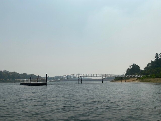
Note that kayakers, canoes and SUP paddlers do not have access to the whole lake - only the arm closest to the launch. A line of yellow buoys clearly states the end of the paddle-accessible section (shaded area shown on the map).
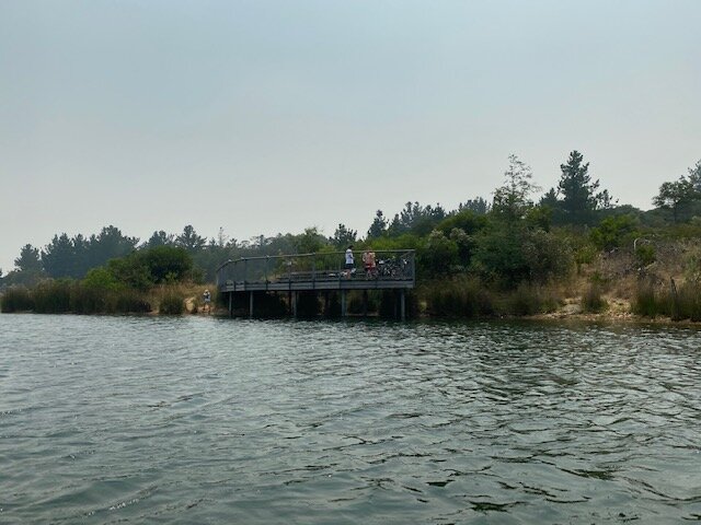
There are some more fishing platforms a bit further around the lake accessible by a walking track. The one inside the narrow old quarry area looks like a good place - others have caught trout and estuary bream there.


Aside from the fishing, this reserve has a lot of walking tracks around the lake and through the bush, and bikes are allowed on the tracks (but no dogs).
History
The landscapes and landforms of Devilbend Natural Features Reserve are intrinsic elements of the Country of the Boonwurrung/Bunurong people and have cultural and environmental significance.
European settlers in the late 19th Century used the land for farming - orchards and cattle grazing - remnants can be seen of apple trees and pine windrows.
Melbourne’s expanding need for water resulted in the construction of two reservoirs - firstly the smaller Bittern reservoir to the south in the 1920’s, then Devilbend Reservoir in the 1950’s. It was formally opened in 1965. With the construction of Cardinia Reservoir and its pipeline to Pearcedale in the late 1990’s, Devilbend Reservoir was obsolete. Melbourne Water handed it over to Parks Vic and it was proclaimed a natural features reserve in 2007.
Since then, Parks Vic has funded works to improve access and facilities and revegetate the area. Since 2010 Victorian Fisheries Authority has stocked the reservoir with rainbow trout and brown trout.